Industry and Construction
We use state-of-the-art drone technology to collect precise data that saves you time, money, and increases workplace safety. We specialize in technical inspections and precision 3D mapping for designers, developers, and facility managers.
Technical Inspections (Thermography)
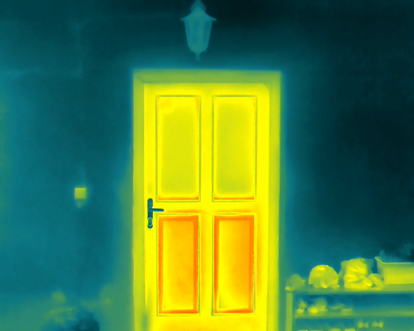
Drone thermal inspections are the fastest and safest method for detecting hidden defects. Using a top-tier radiometric thermal camera on the DJI Matrice 4T drone, we can accurately identify thermal bridges on buildings, faulty PV panels, or overheating components. Our analysis, compiled into a clear PDF report, serves as an invaluable basis for efficient maintenance and warranty claims.
3D Models and Photogrammetry
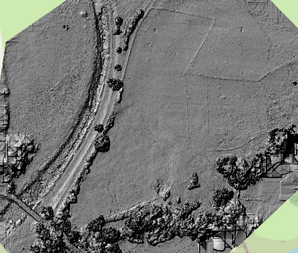
By using a drone with RTK technology (for centimeter-level accuracy), we can create detailed 3D models, point clouds, and georeferenced orthophoto maps. These outputs serve as an indispensable basis for surveyors, designers, and construction companies to measure the actual state of a structure, calculate volumes, or serve as a foundation for BIM.
Interactive 3D Models
The pinnacle of our photogrammetry work is the creation of detailed 3D models of historical objects and monuments. Browse our outputs in the interactive gallery.
Below is a rough sample of a 3D model.
Agriculture and Hunting
We provide specialized services for farmers and hunting associations. We combine thermal imaging technology with precise photogrammetry to supply you with "hard data" for insurance companies and effective tools for hunting ground management.
Damage Mapping ("Hard Data")
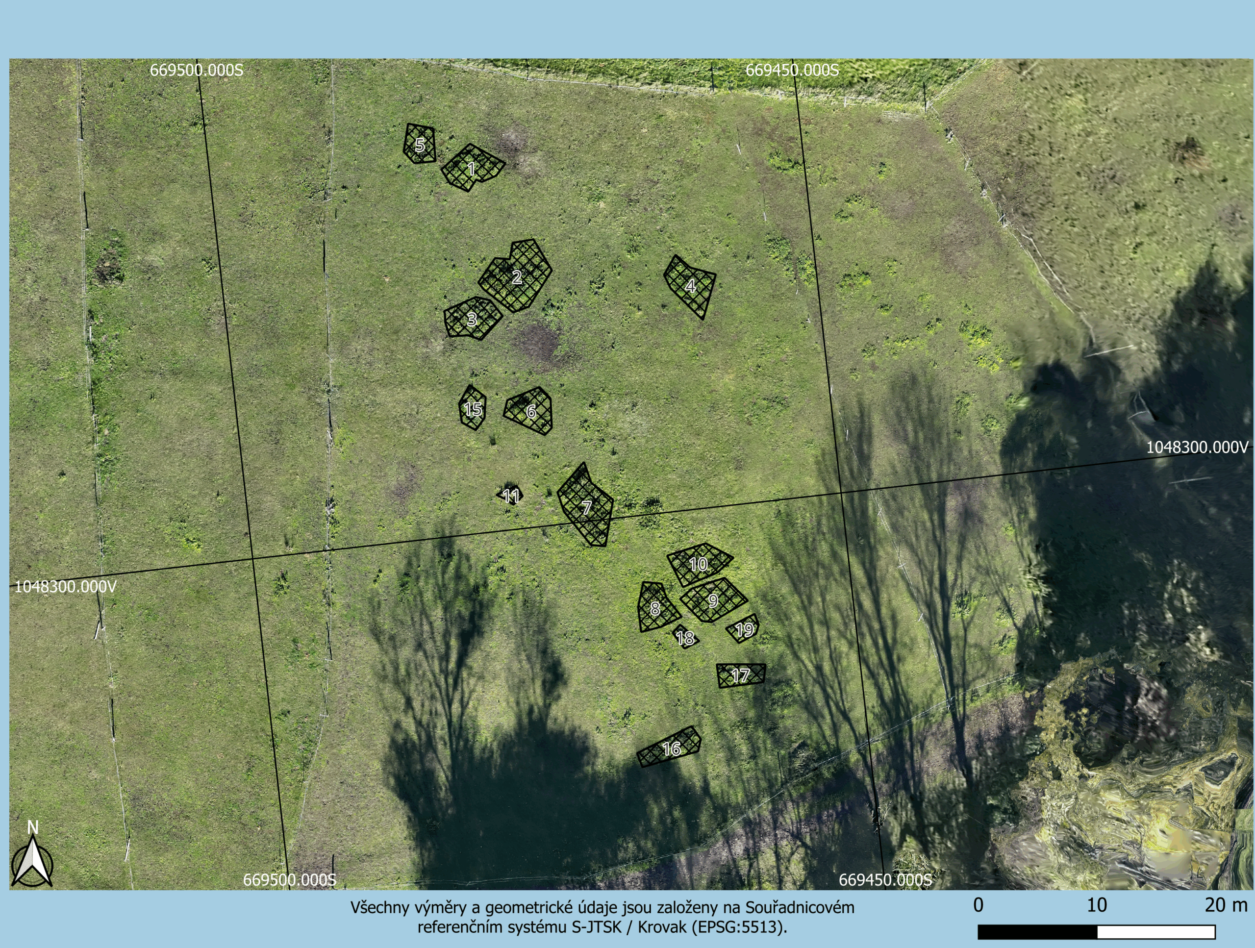
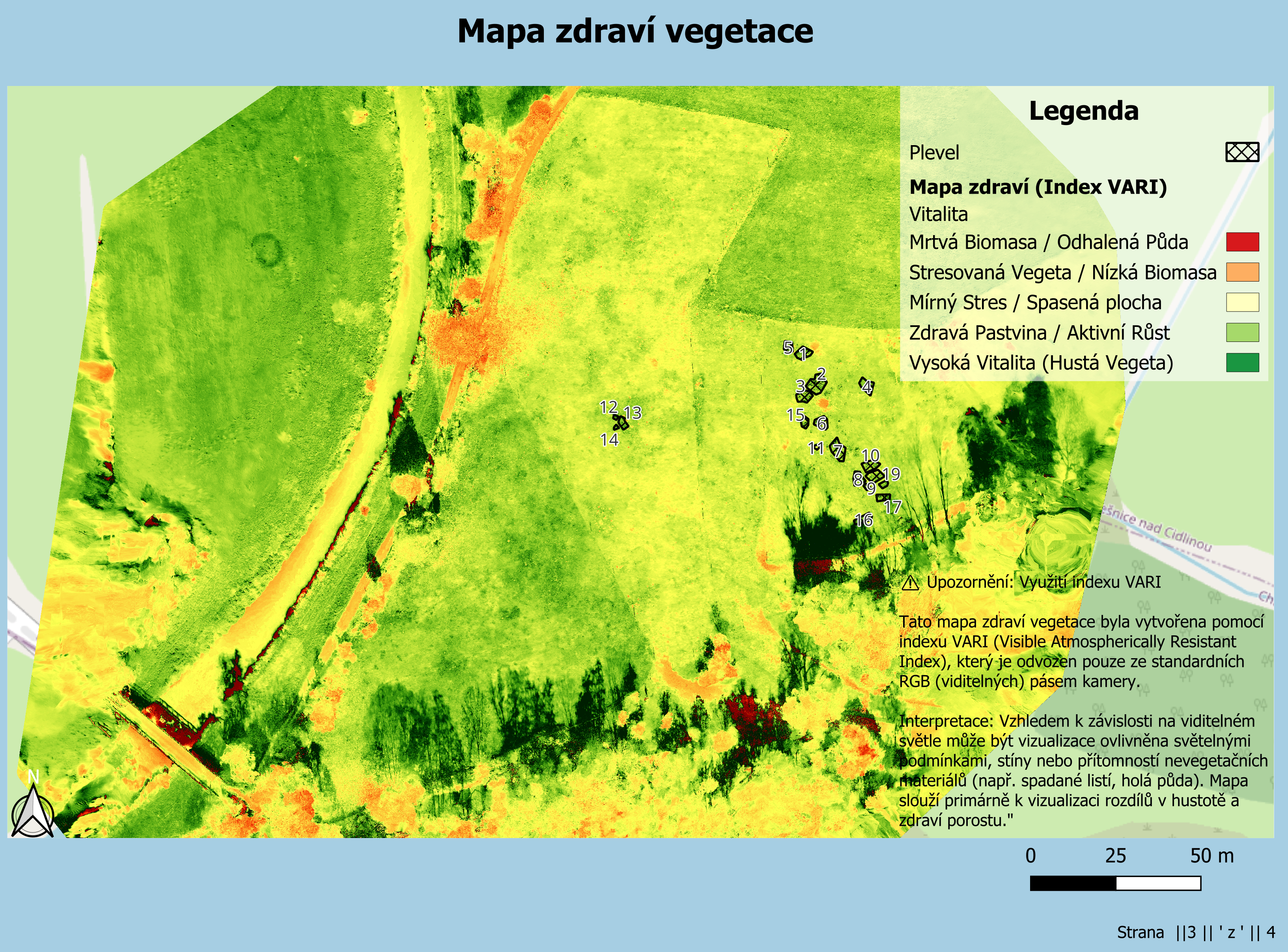
When mapping damage (e.g., from wildlife or hail), photogrammetry is crucial. Using an RTK drone, we create an accurate orthophoto map. The final output is an official PDF report containing the orthophoto map with a marked and precisely calculated area of damage in the S-JTSK coordinate system. The data can also include an interactive 3D model (similar to the industrial sample), which serves for a better visualization of the terrain and damage.
Wildlife Counting and Fawn Rescue (Thermal Imaging)
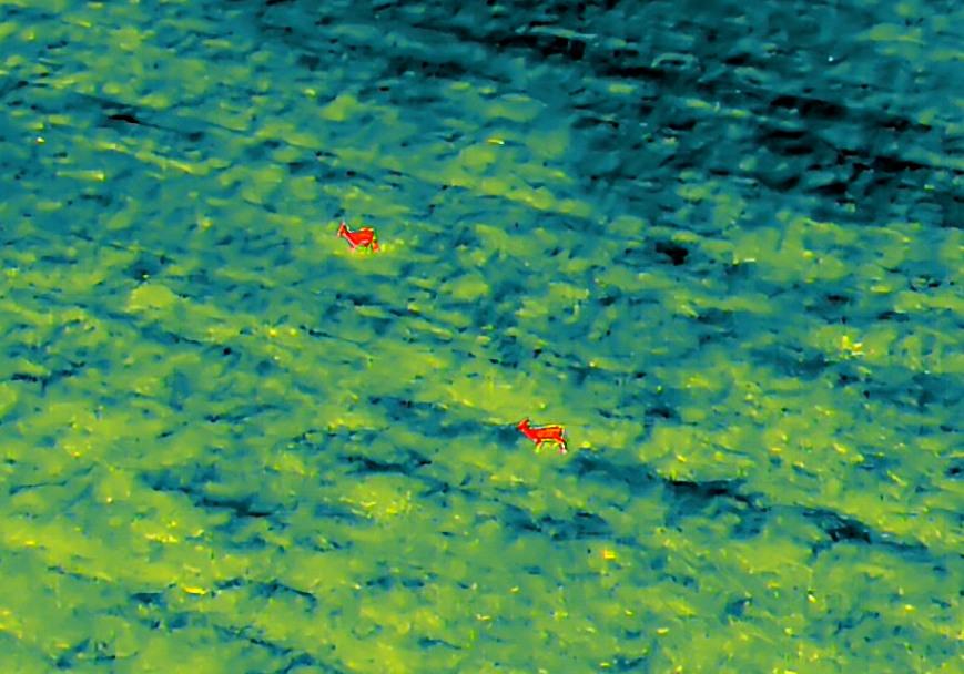
Thanks to cutting-edge thermal imaging, we can perform highly effective monitoring of hunting grounds and fields.
- Wildlife counting ("Night Overview"): We conduct a complete audit of your hunting ground. The output is a detailed report on wildlife numbers and movement, serving as a key basis for effective hunting planning. It can also be supplemented with a so-called heat map.
- Fawn rescue ("Morning Watch"): Before haymaking, we perform rapid morning monitoring. We detect hidden wildlife with extreme reliability and immediately navigate your ground team.
Promotion (Video & Photography)
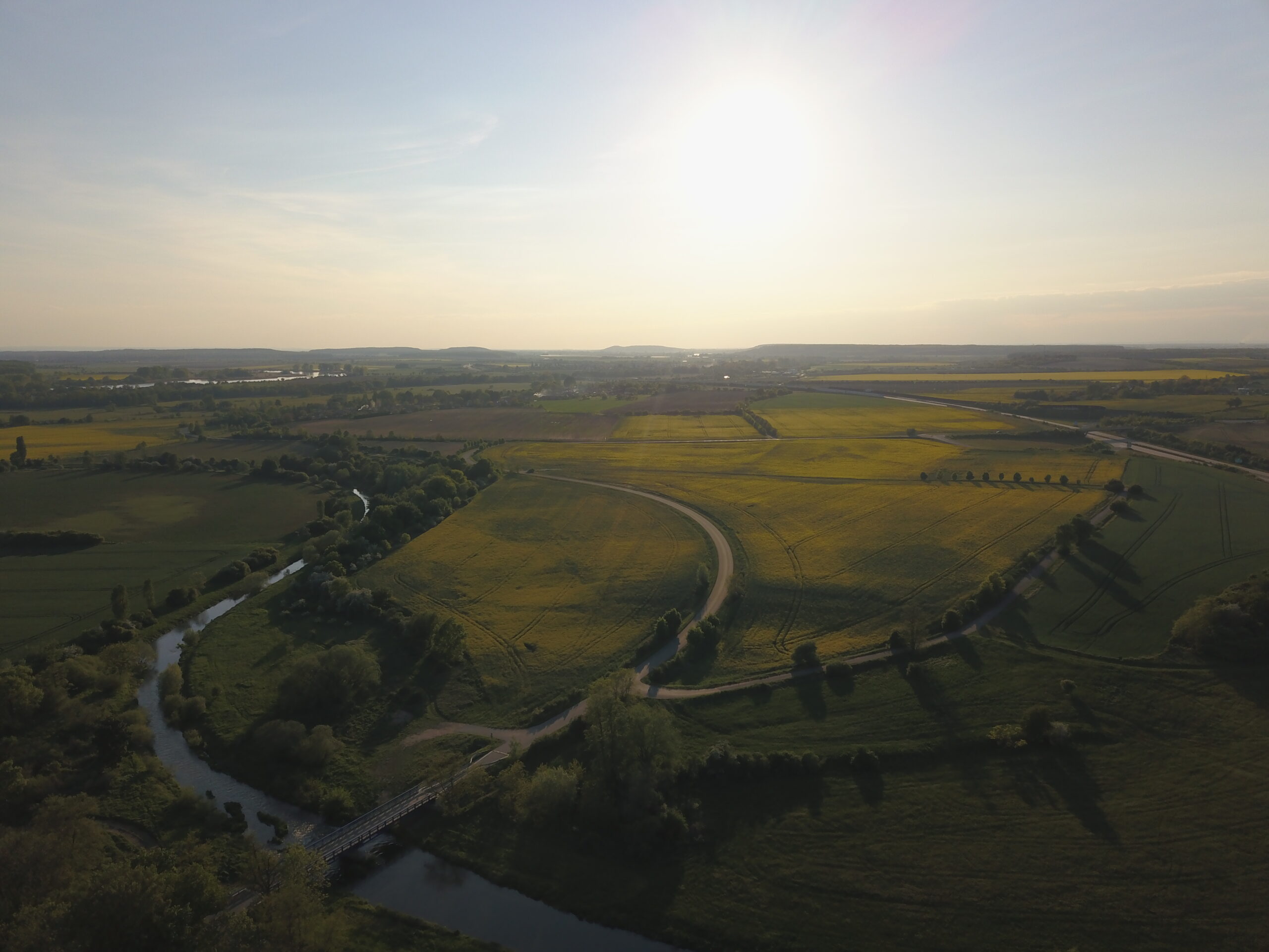
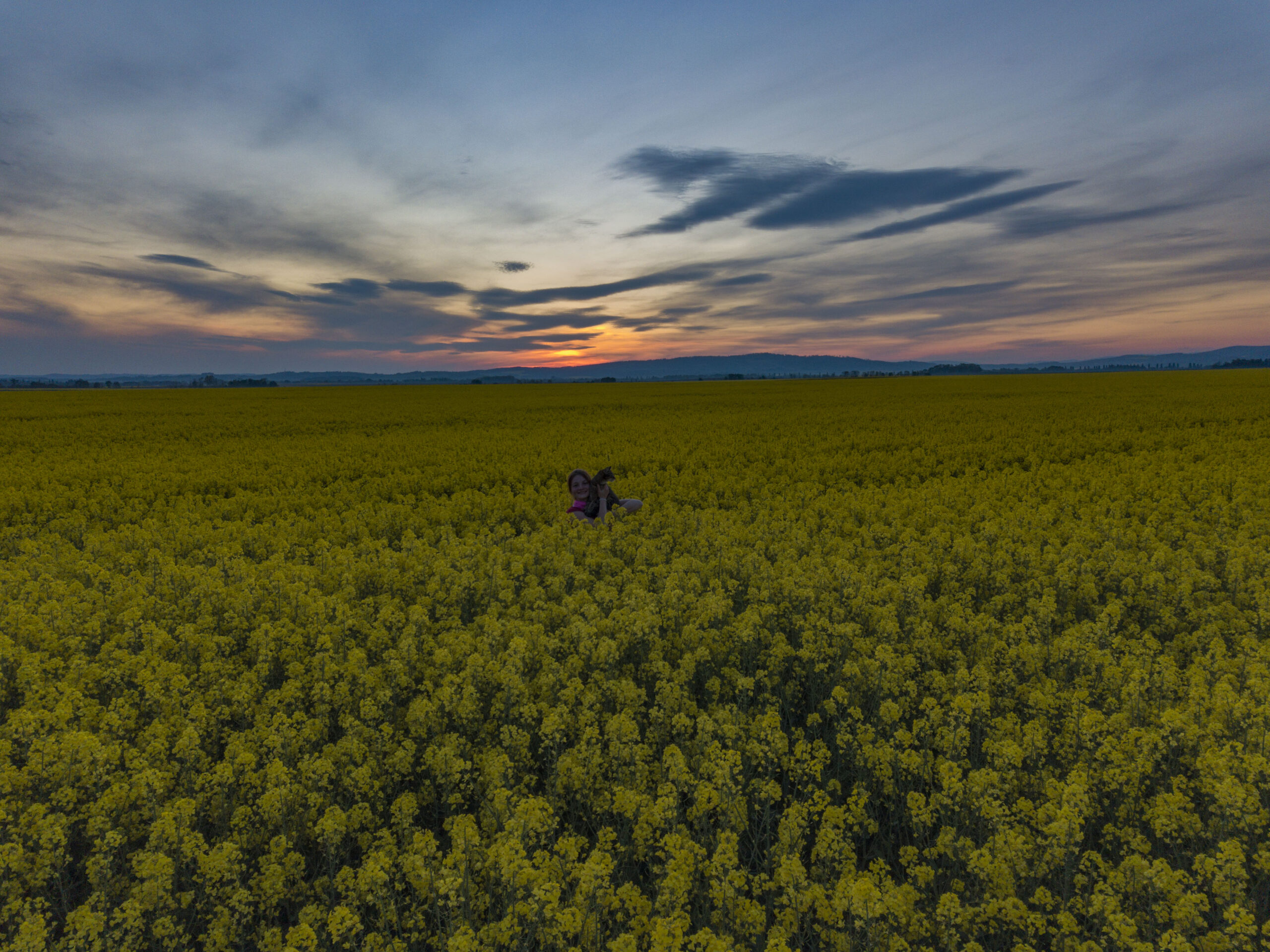
Aerial shots have the power to capture your project, property, or business from a unique perspective. We specialize in capturing high-resolution (4K) cinematic videos and professional photographs that bring dynamism and prestige to your materials. Whether you need a promotional spot, attractive footage for real estate sales, or just detailed photo documentation, we handle the entire process from flight planning to final post-production and editing.
Applications
- Promotional videos for companies, municipalities, and events.
- Attractive shots for the sale or rental of real estate.
- Photo documentation of construction progress and projects.
- Inspection photography of hard-to-reach places (bridges, roofs, chimneys).
Photogrammetry and Presentation for Developers (Real Estate)
Are you selling a large plot of land, a parcel, or preparing a development project? Traditional ground photos are often not enough to capture the true potential of a location. Using a drone, we create accurate orthophoto maps and attractive aerial visualizations of the terrain.
- Aerial video and photo: Dynamic shots of the surroundings for real estate advertising.
- Orthophoto maps: Accurate and up-to-date map materials for architects and designers.
- Drawings in photographs: Ideal for clearly marking the boundaries of land, parcels, and future development directly into the aerial image.
Sample of Our Work
Below are samples of videos we helped create.
In addition to video, we naturally supply professionally edited high-resolution photographs.